Roxborough State Park, Fountain Valley Trail
Littleton, Colorado August 5, 2015 Wednesday
 Roxborough, southwest of Denver, is a Colorado Natural Area and a National Natural Landmark for good reason. The park, with close to 4000-acres, is filled with dramatic red-rock formations, distinct plant communities, and a host of wildlife ranging from black bears to mule deer. Visitors can take in all of Roxborough’s geological wonders via a series of trails for every level of hiker. The Fountain Valley Overlook is only 100 yards from the Visitor Center and provides spectacular views of several beautiful rock formations, including the Fountain Formation, Lyons Formation, and the Dakota Hogback. Many visitors tote their cameras to capture one of the many beautiful views or animal sightings such as red fox from one of the park’s overlooks.
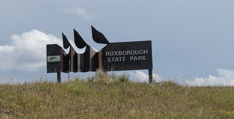
Entrance sign
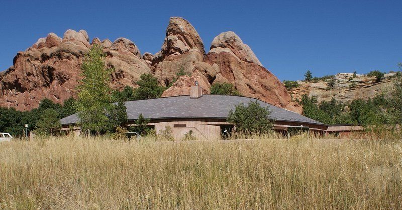
The visitor center 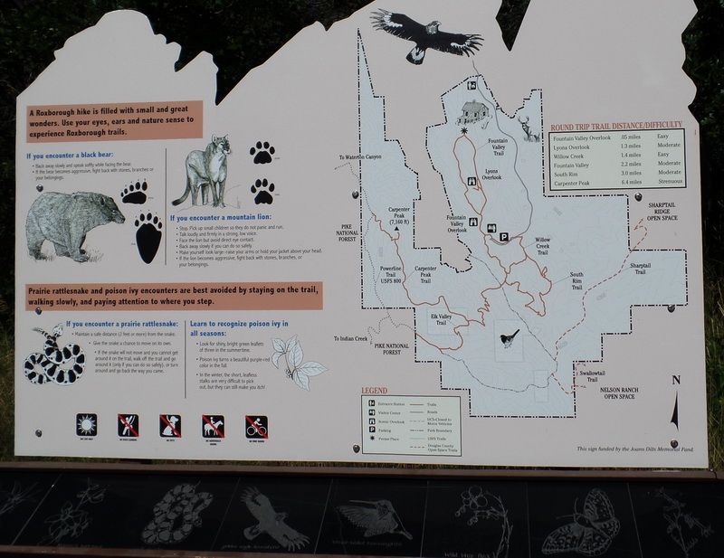
The park guide board near the visitor center.
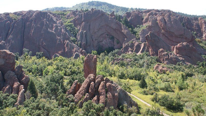
From the scenic overlook of the Fountain Valley Trail
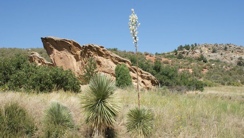
A solitary Yucca flower
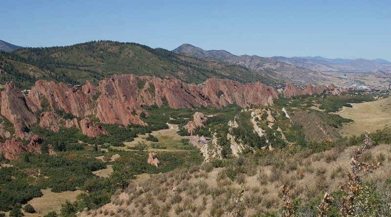
From the scenic overlook. Beyond are Rxborough Village and Arrow Head Golf Course.
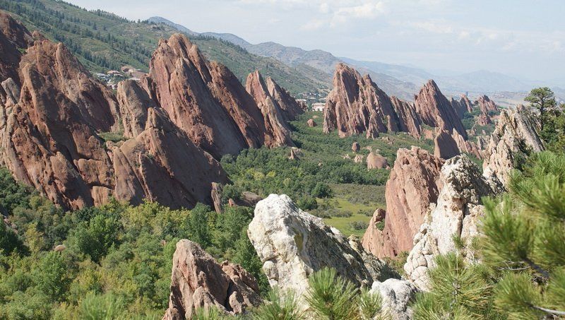
Looking down from the overlook. The whitish rock is a part of Dakota Hogback layer.
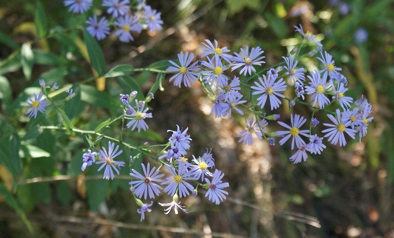
Smooth Blue Aster, smiling at you from a shade. We simply call them "들국화" !!
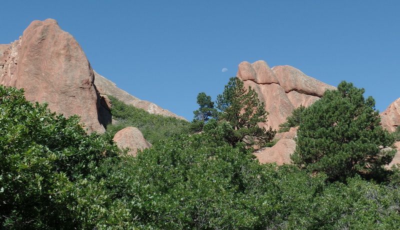
The afternoon half-moon was in the western sky behind and over the "red rock formations" in the park.
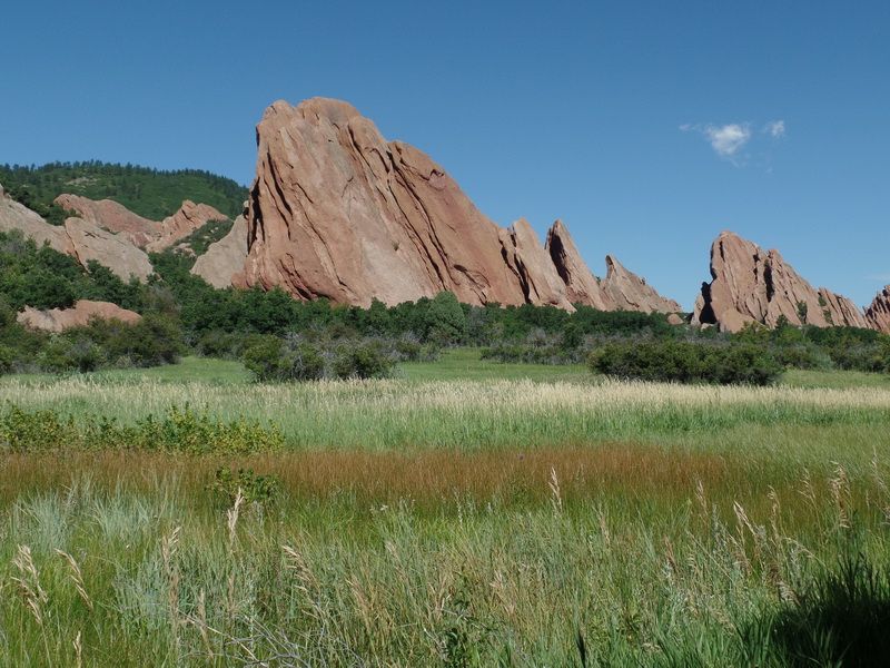
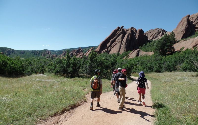
Typical Colorado grasslands. The Fountain Valley trail runs through grasslands and red rock formations.
This is the western end of the Great Prairie (Great Plains) of the US west.
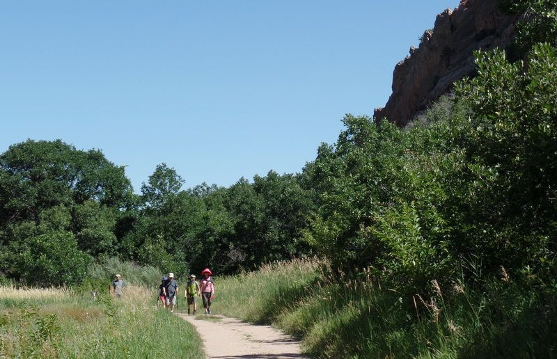
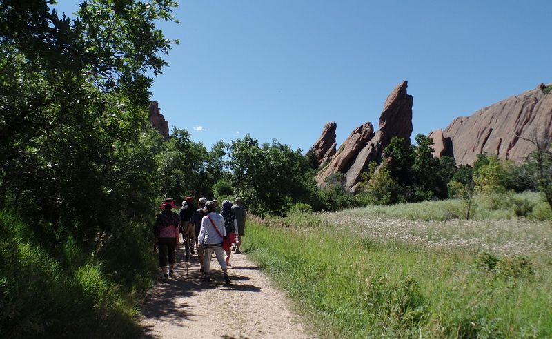
Our group emerging through the woods of scrub oaks.
As the Rocky Mountain Ranges pushed up from below, the red sandstone layer took a ride on the top of the granite layer of the Rockies.
The red sandstone found throughout Eastern foothills of Rockies Range is geologically identified as belonging to the Fountain Formation.
Colorado examples of Fountain Formation geology include Roxborough State Park, Garden of the Gods near Colorado Springs, and the Flatirons near Boulder. The rocks were formed about 290-296 million years ago when the Ancestral Rocky Mountains were eroded during the Pennsylvanian epoch. Later, uplift during the Laramide orogeny tilted the rocks to the angle at which they sit today.
The Laramide Orogeny occurred in the late Cretacious period starting from 70-80 million years ago and ending 35-50 million years ago.
(Orogeny: Structural deformation of earth's crust and upper mantle.) At this particular point of geological time, the superficial red rock (sandstone) layer was pushed up to 60 degree tilt pointing to the west where the main deeper upheaval of the Rocky Mountain Range is.
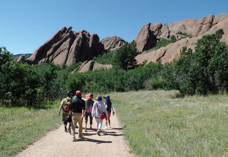
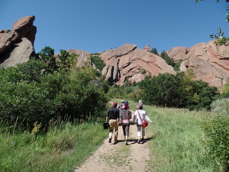
Walking through the red rock formations.

Data from the Internet. Photo by SNUMA WM
| 


