Long Lake and Lake Isabelle
Brainard Lake Recreation Area, Ward, Colorado
August 6, 2015
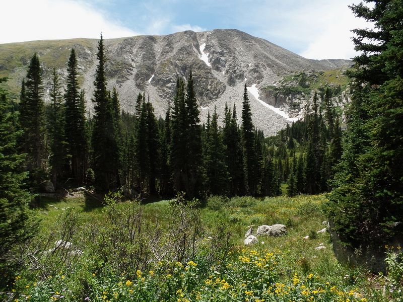
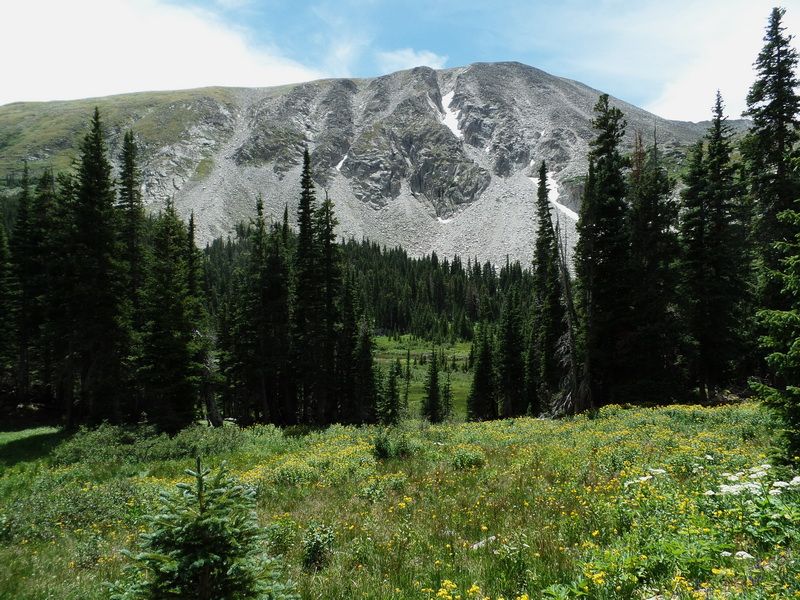
Serving as a gateway to the Indian Peaks Wilderness, the Brainard Lake Recreation area is a highly popular trailhead and campground in the Roosevelt National Forest near Ward, Colorado. Together with views of the Indian Peaks to the west as well as trails that lead to several alpine lakes, a small glacier and the adjacent Indian Peaks Wilderness, the Brainard Lake Recreation area offers a popular and worthwhile destination.
Brainard Lake is surrounded by subalpine forest set in a glacially-carved valley. The peaks of the Continental Divide loom to the west.
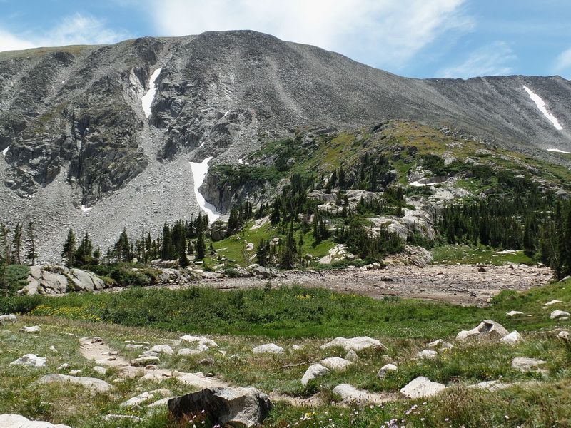
Pawnee Pass Trail – A heavily used trail, the Pawnee Pass Trail travels along the northern edge of Long Lake, then climbs steeply to Lake Isabelle (2.1 mi.) that is situated in a high altitude cirque formed by the surrounding Apache (13,441'), Shoshoni (12,967'), and Navajo (13,409') Peaks. At Lake Isabelle, the Pawnee Pass Trail connects with the Isabelle Glacier Trail which heads further west along the northern short of Lake Isabelle to the Isabelle Glacier.
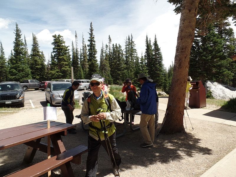
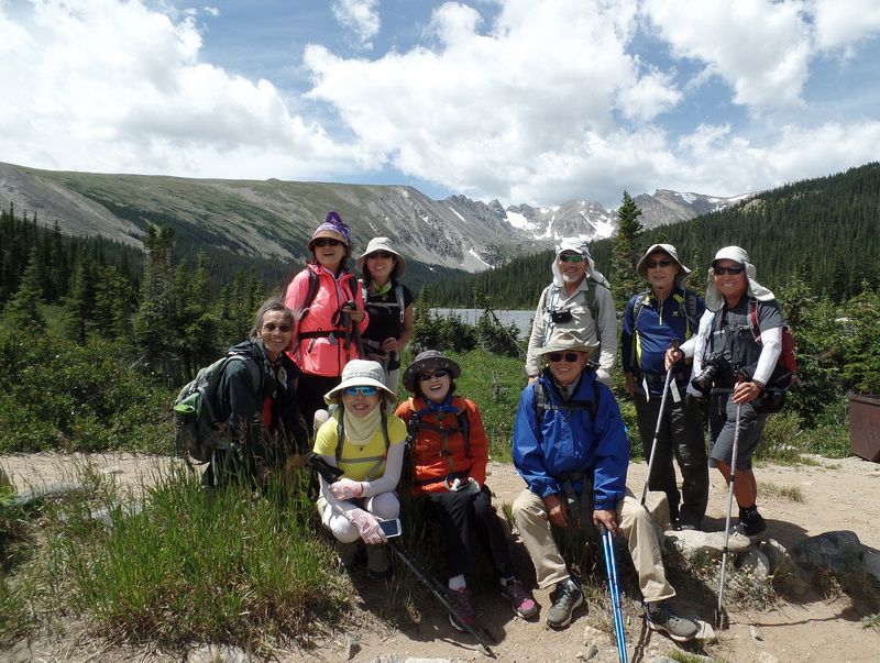
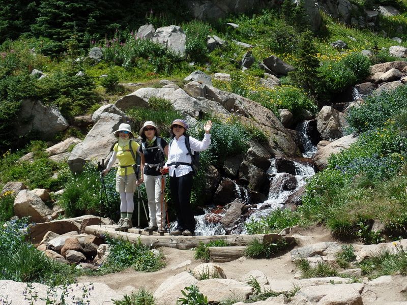
Waiting for the parking of our cars. The parking lot were full and took long time to find spaces for our car.
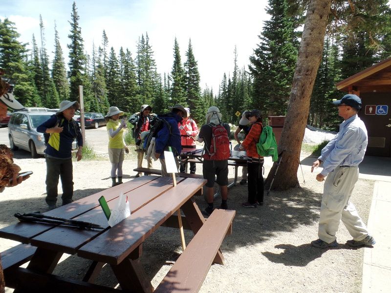
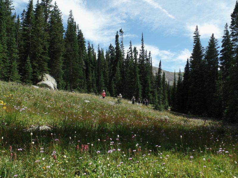
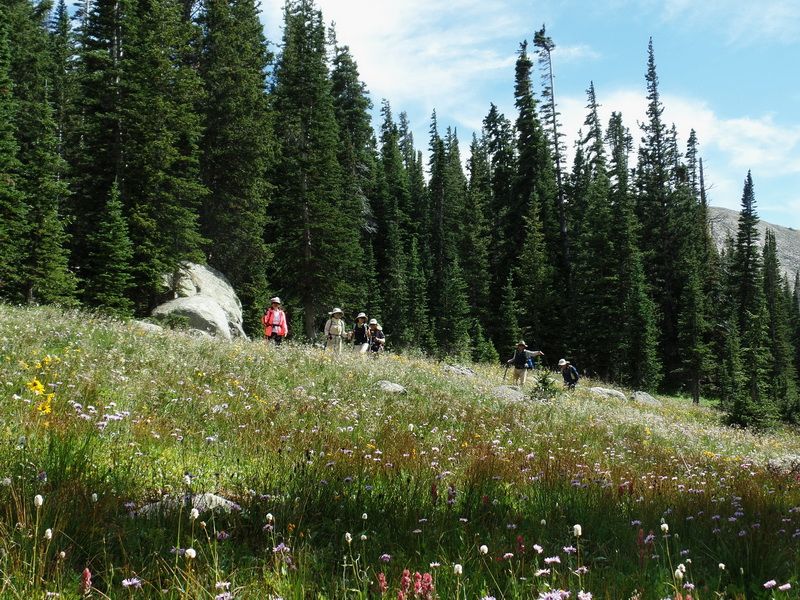
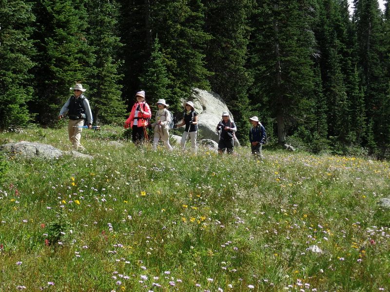
At the Long Lake parking lot. Now, about time to go hiking.
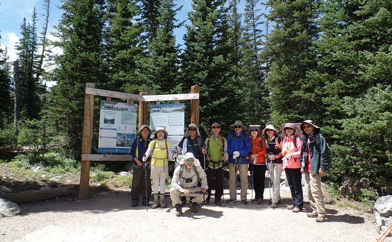
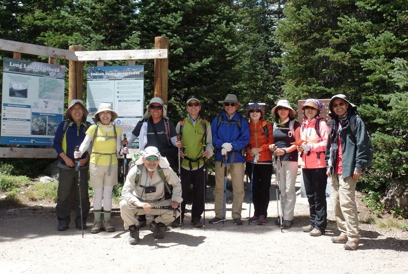
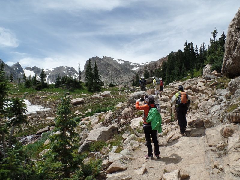
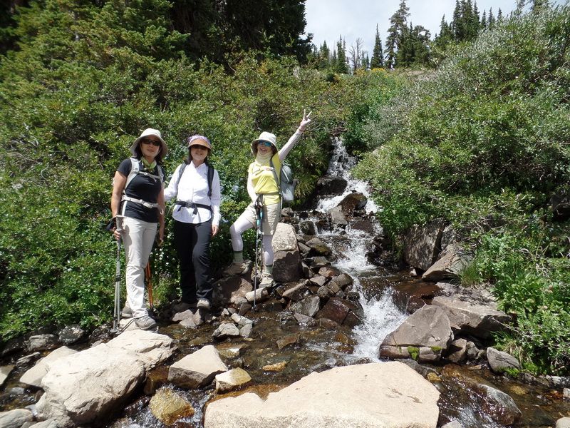
At the entrance of Long Lake Trail (or Pawnee Pass Tail)
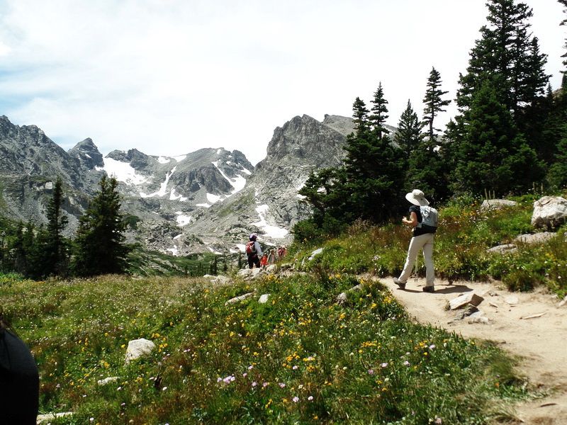
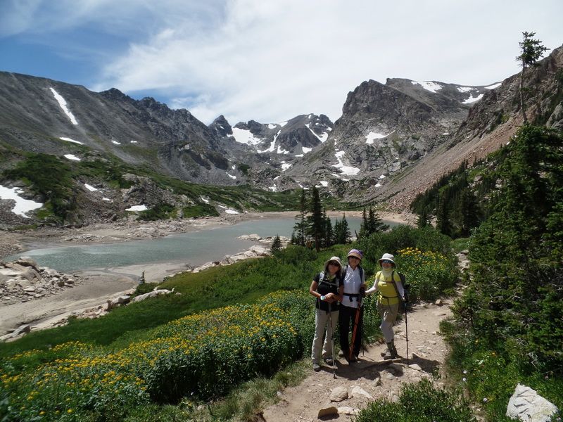
With background of Long Lake with a long gentle Niwot Ridge, and three Indian Peaks of Indian Peaks Wilderness.
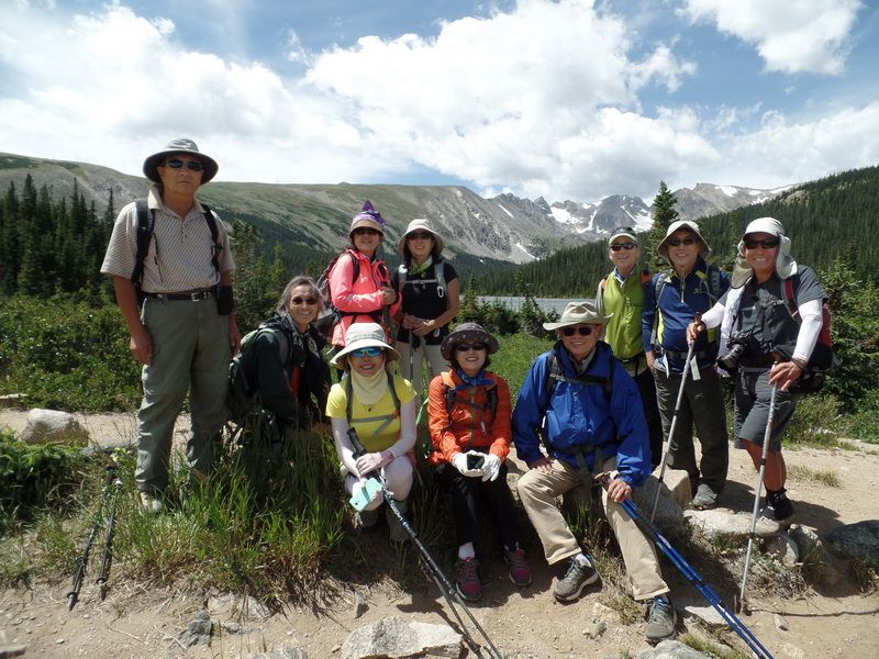
The first lake we met was Long Lake, not far away from the parking lot. On the way up we took the right (north) side of the lake. Again, from left to right, Niwot Ridge, Navajo Peak (pyramid shape), Apache Peak, and Shoshoni Peak.
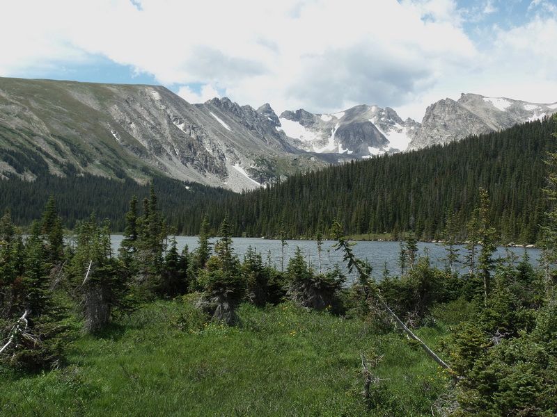
Two major glacier of Navajo Glacier left) and Isabelle Glacier (right).
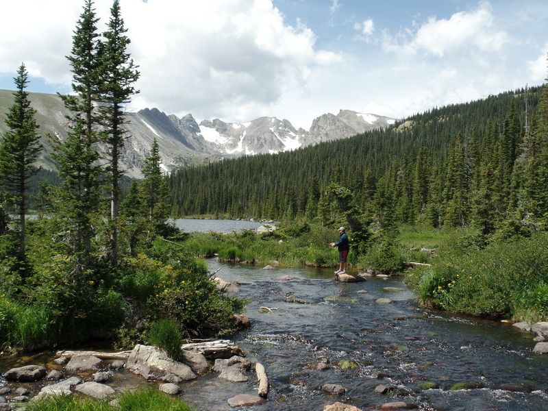
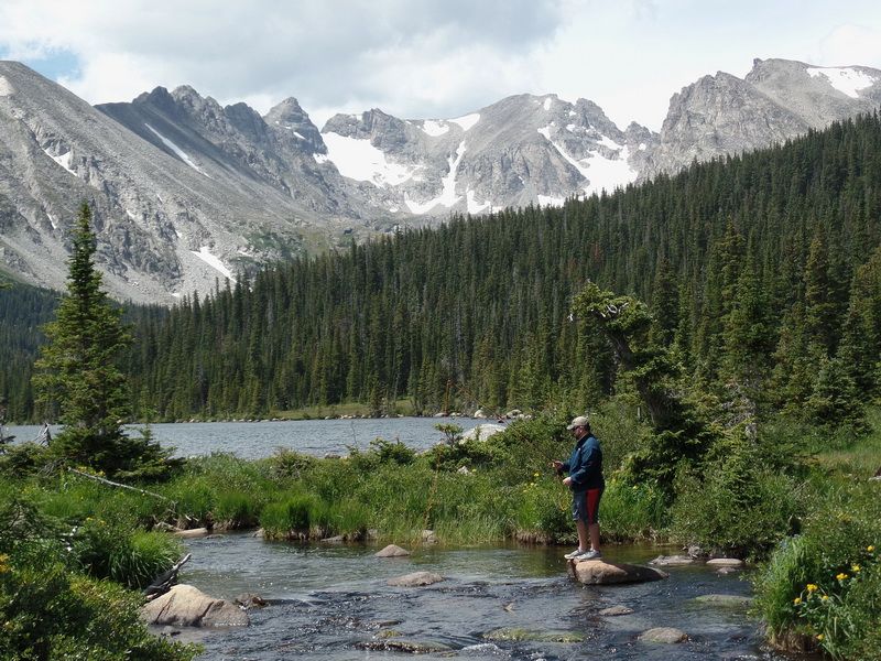
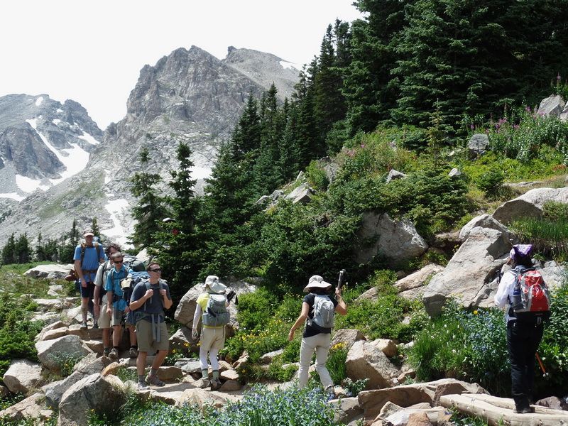
A fisherman tries to find peaceful moments but can he get them among so much hiking traffics and noisies?
The background was pulled in by zooming, increasing the awesome effect of the Indian Peaks and their glaciers.
Niwot Ridge (13,023' left jagged ridge top), Navajo Peak (13,409' left middle pyramid), Apache Peak (13,441' center broad),
Shoshoni Peak (12,967' left nipple). Navajo Glacier (left, oblong shape), Isabelle Glacier (right, with a handle)
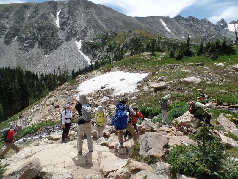
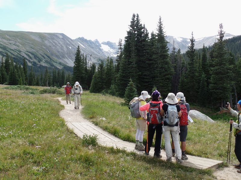
After picture session we return to the main trail of Pawnee Pass Trail at the north side of the Long Lake.
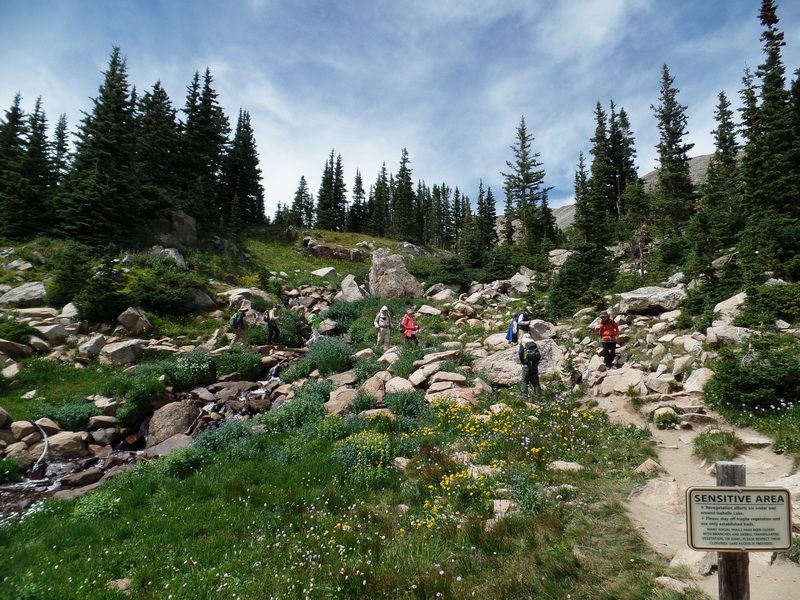
 Long Lake and alpine wetland with moisture loving plants and flowers.
Lakeside wet valley floor with Niwot Ridge in the background.
Niwot Ridge extending toward Navajo Peak (not visible) to the right (beond the right edge of picture frame).
Wild flower beds in the valley.
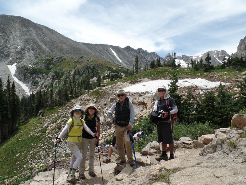
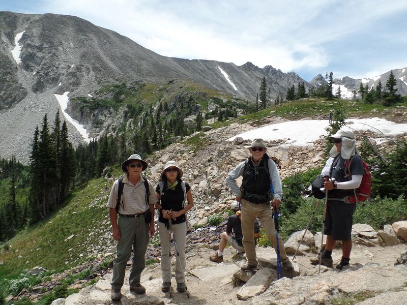
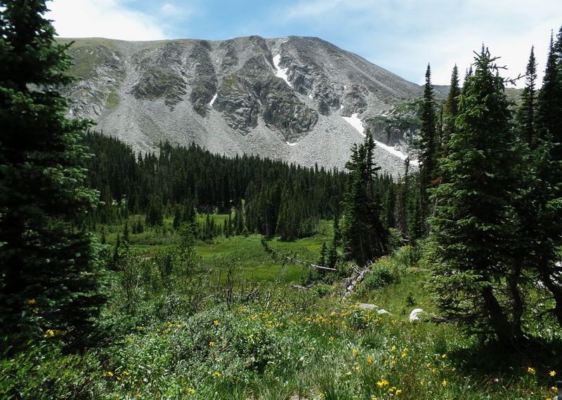
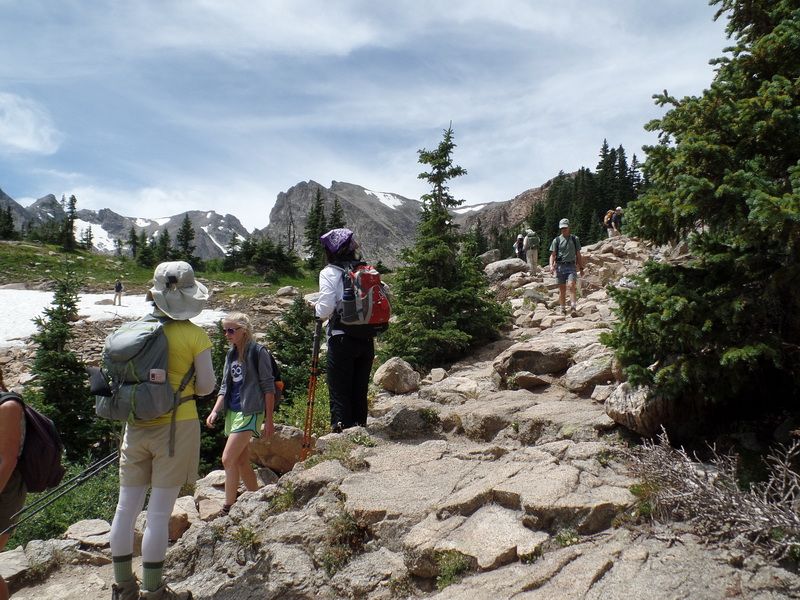
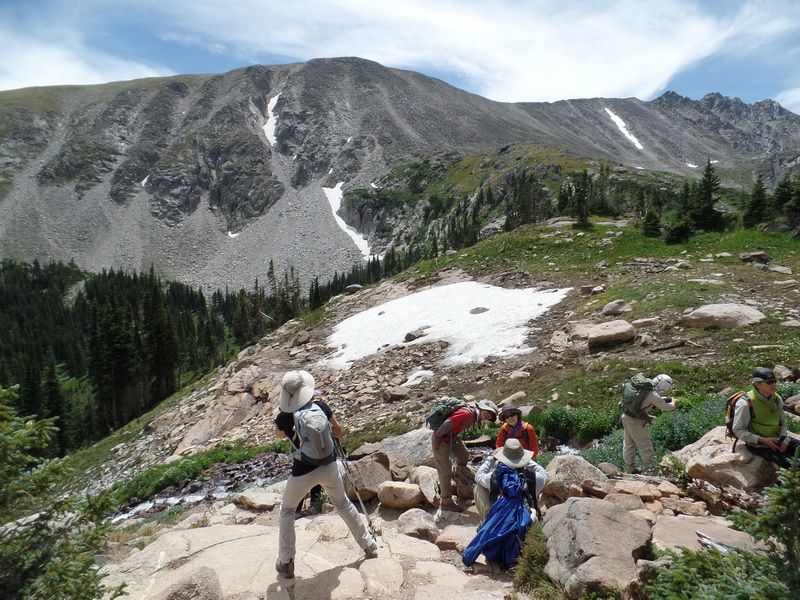
The last uphill climb before Lake Isabelle.
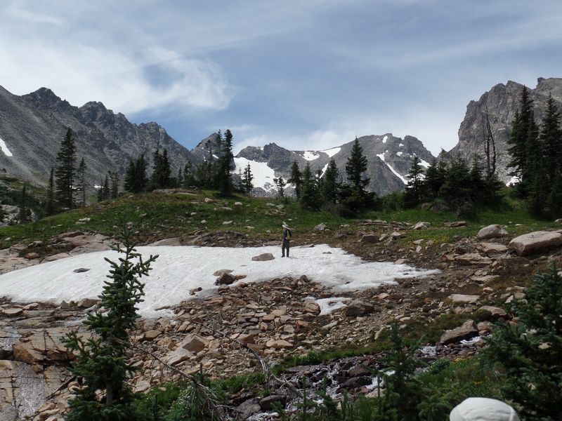
Jaesun Park in the snow field.
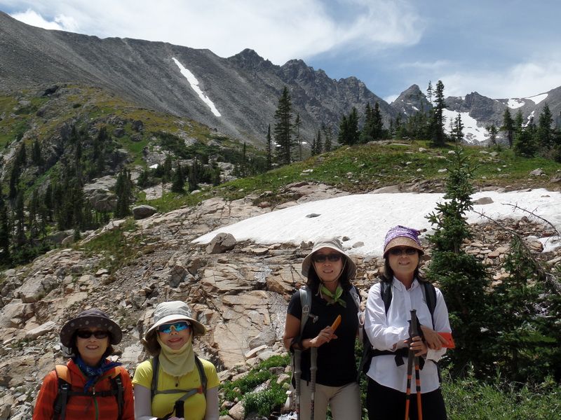
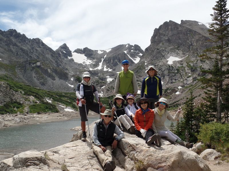
Two captains together

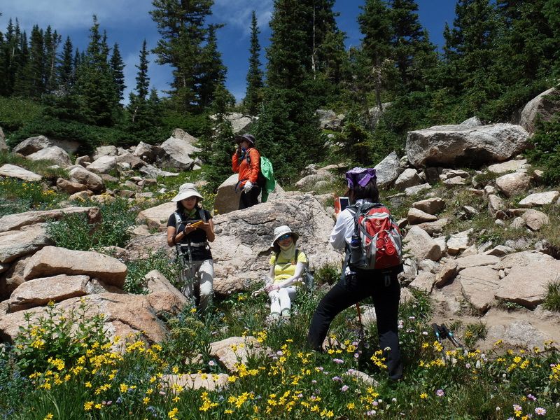
Someone found a cluster of Colorado Columbine flowers under a rock.

Colorado Blue Columbines in Younghye's hand, Heartleaf Arnica (yellow daisy-like) all over, and scattered Blue Aster.
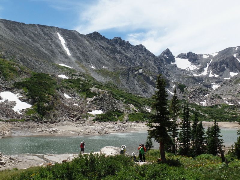
At last we are at Lake Isabelle. The water level is disappointingly very low. For some unknown reason, Boulder Ranger District drains the lake at the end of July every year, disappointing visitors who toiled to reach the lake .
Shoshoni Peak (right edge of picture with nipple like summit), Apache Peak (notched broad peak over the head of 유승엽),
Navajo Peak (sharp triangular at left middle)
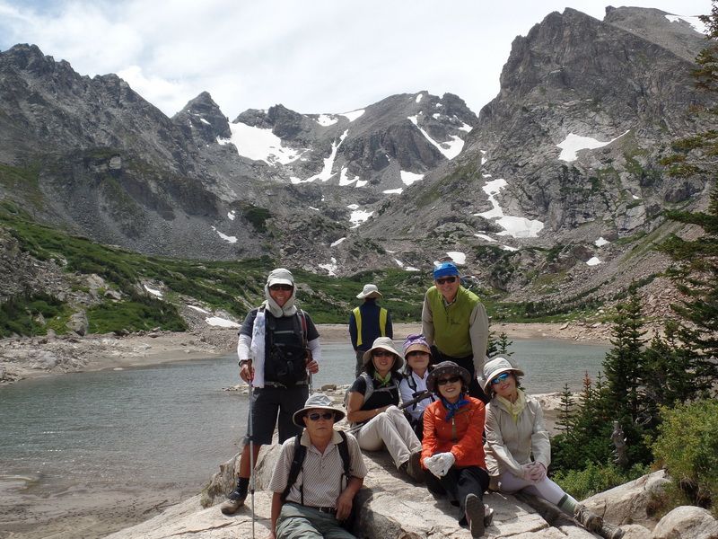
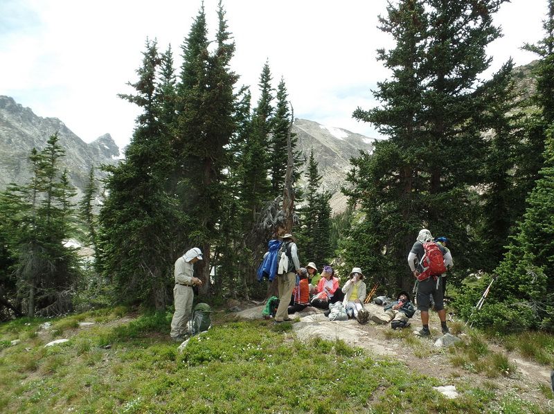
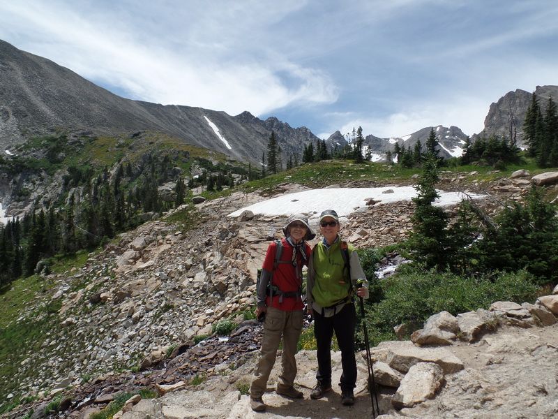
Sitting down for lunch
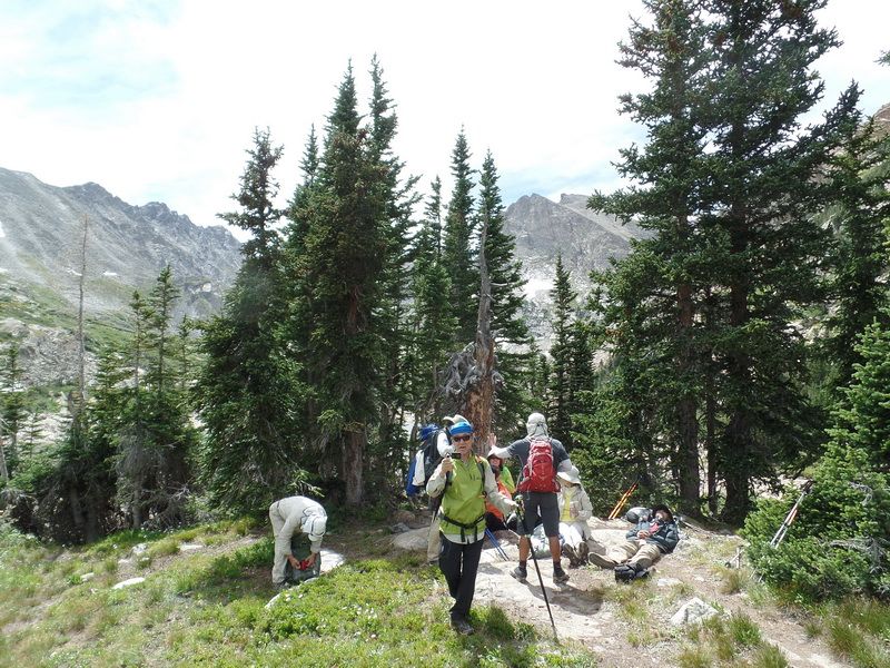
After lunch break
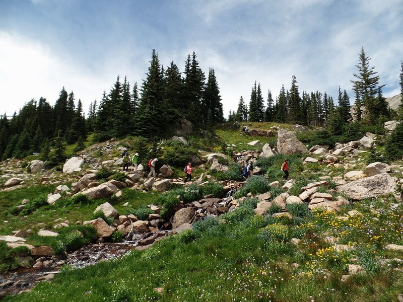
On the way down, crossing a creek in an alpine wildflower field.
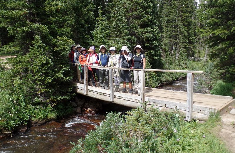
Leaving the main trail by crossing South St. Vrain Creek to the south side of the Long Lake into Jean Lunning Trail.
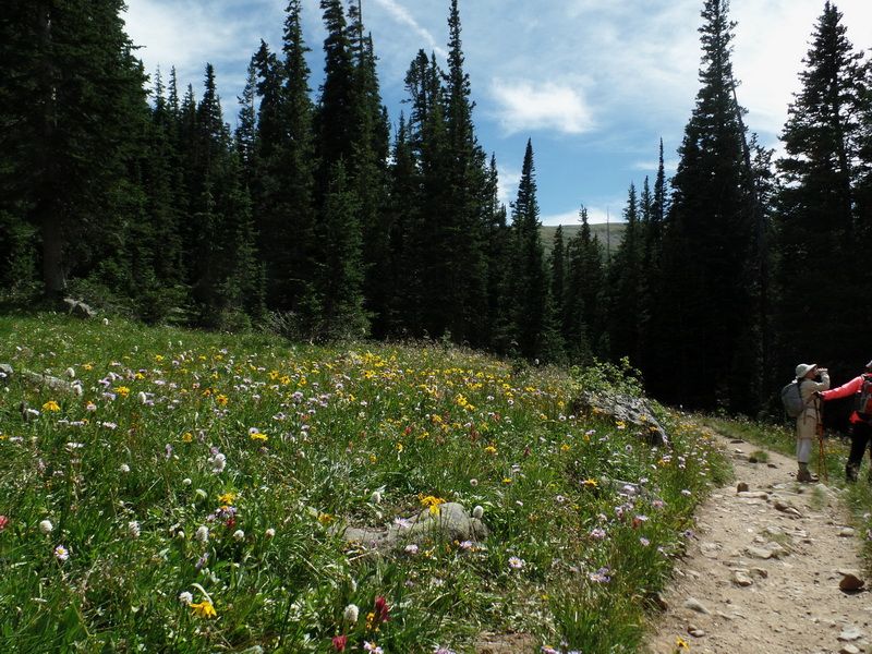
We are descending on Jean Lunning Trail at the left side (south) of the Long Lake. This trail sits higher than the lake and also has many wide open alpine meadows along the way, creating nice wildflower beds.
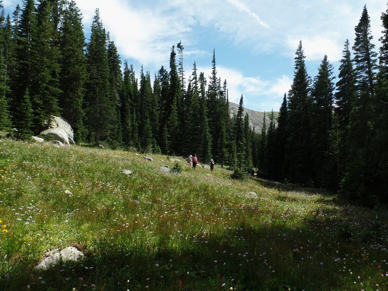
Another aline meadow with wildflowers.
A lot of wild flowers !! This trail has more wild flower than Pawnee Pass Trail at the other side.
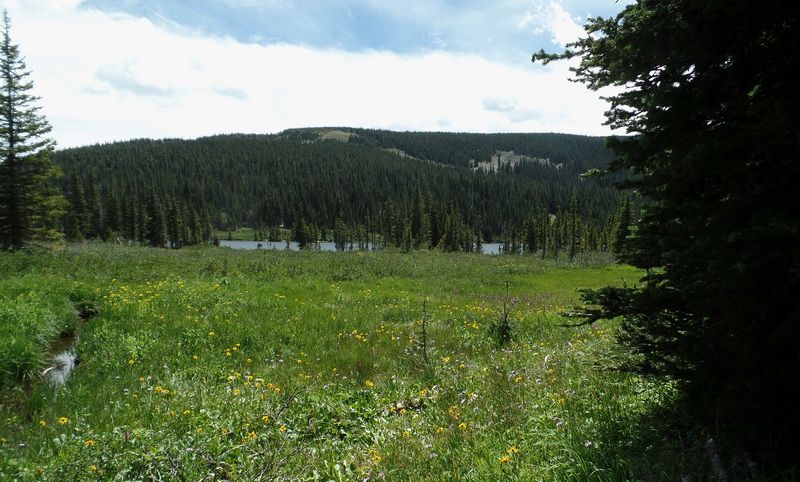
At the lower end of Long Lake
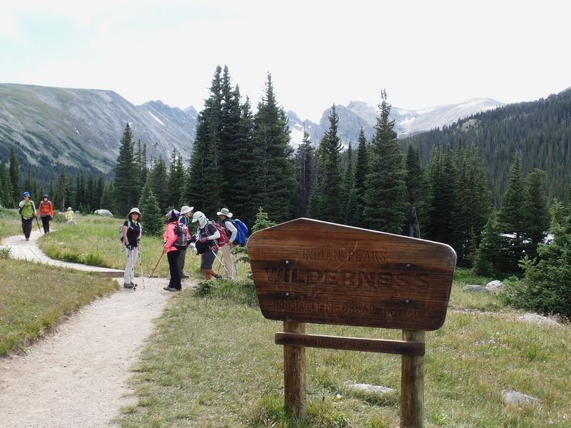
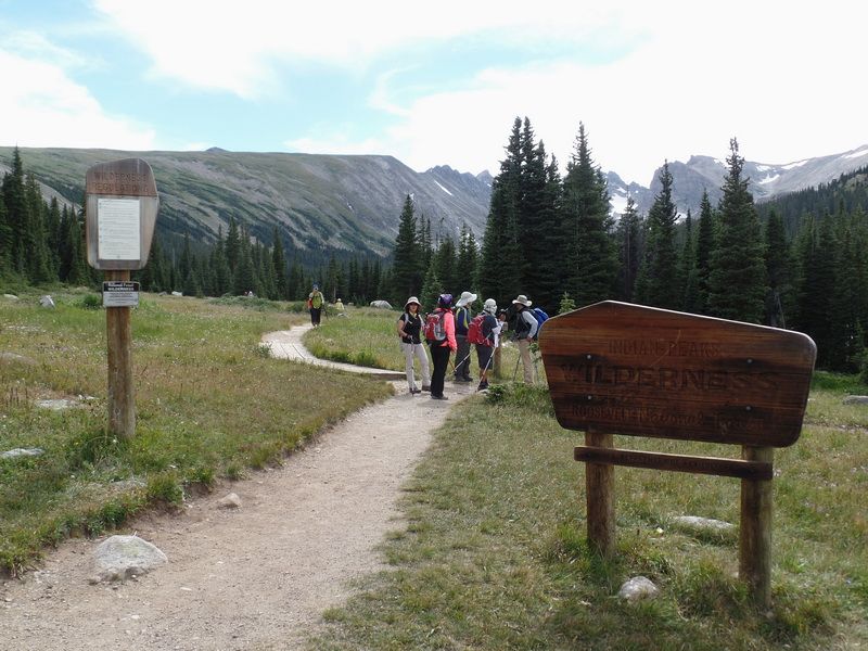
A sign for "Indian Peaks Wilderness"

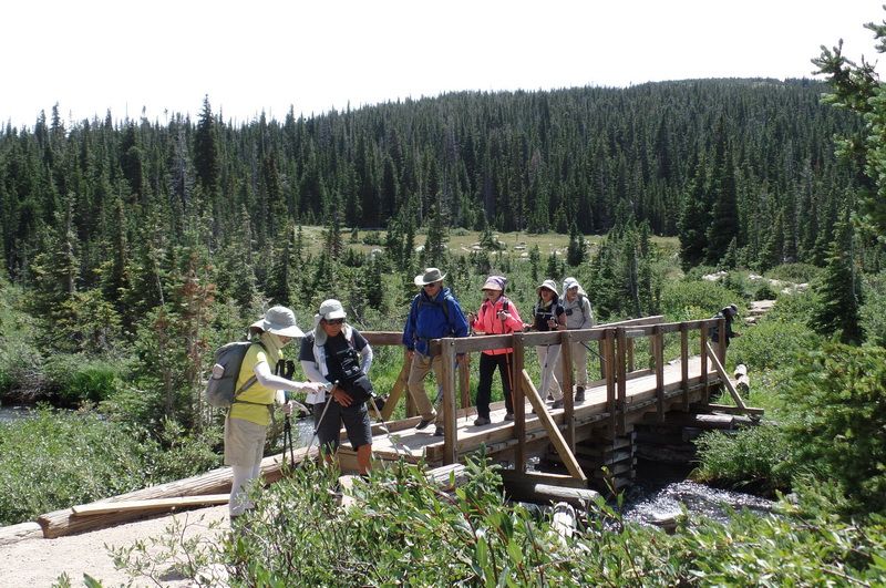
At the trail junction, we gathered our group together before joining the main trail and then to the parking lot.
Data from the Internet. Pictures by SNUMA WM |


